- Currently Miami
- Posts
- Currently in Miami — August 7, 2023: Steamy with scattered thunderstorms
Currently in Miami — August 7, 2023: Steamy with scattered thunderstorms
Plus, major milestones this weekend for Alaska's rapidly warming landscape
The weather, currently.

Steamy, with scattered thunderstorms
Temperatures will continue to trend warmer to start this week, with highs reaching the low to mid 90s across South Florida and heat index values exceeding 105-108—the criteria for a Heat Advisory. Overnight lows will also be rather warm, dipping no lower than a degree or two below 80 before sunrise. In terms of rain, expect much of the same as we saw over the weekend. Showers and thunderstorms will develop along the sea-breeze over the east coast metro area before moving inland as the day progresses. For the most part, storms should not be too strong, but an isolated severe thunderstorm or two is not out of the question. Moisture levels will vary throughout the week, so expect a mixture of rainier and drier days to come.
El tiempo, actualmente.
Las temperaturas en el sur de Florida continuarán con una tendencia más cálida a partir de esta semana, con máximas que alcanzarán los rangos bajo a medio de los 90 grados e índices de calor que superarán los 105-108: el criterio para una Advertencia de Calor. Las mínimas nocturnas también serán bastante cálidas, descendiendo no menos de uno o dos grados por debajo de los 80 al amanecer. En términos de lluvia, esperen lo mismo que vimos durante el fin de semana. Se desarrollarán aguaceros y tormentas eléctricas a lo largo de la brisa marina sobre el área metropolitana de la costa este antes de moverse hacia el interior durante la tarde. En su mayor parte, las tormentas no deberían ser demasiado fuertes, pero una tormenta eléctrica severa aislada no está fuera de discusión. Los niveles de humedad variarán a lo largo de la semana, así que espere una combinación de días más lluviosos y secos.
What you need to know, currently.
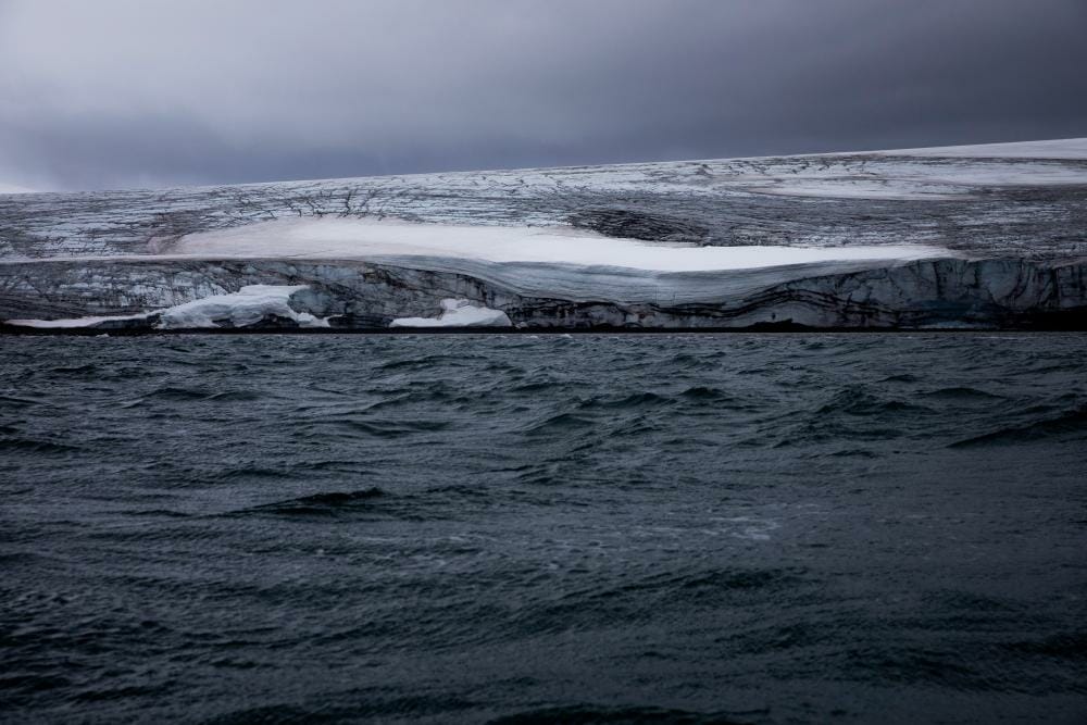
Alaska is warming, fast. Over the weekend, two ominous events at opposite ends of the state were the latest bits of evidence.
Utqiaġvik, the northernmost-town in the US, had its hottest day in history on Saturday — 25°F (13.9°C) higher than normal for the date. Since Utqiaġvik is right on the Arctic Ocean, the average low temperature in early August is just a few degrees above freezing. This weekend, temperatures soared to 76°F.
Then, a glacial outburst flood on Sunday near Juneau scoured away homes and riverbank after the largest surge of water yet from the quickly-melting Mendenhall Glacier. The river that forms from the glacier’s meltwater reached its highest-ever flood stage after an ice dam collapsed that was trapping an entire lake. Magnificent storytelling from the Alaska Climate Adaptation Science Center shows exactly how this now-annual phenomenon began 12 years ago.
On average, the Arctic is warming about four times faster than the rest of the world, and Alaska is one of those places where the environment has already been totally transformed.
What you can do, currently.
Currently is now a member of the Covering Climate Now partnership, a resource-sharing initiative devoted to making sure the biggest story in human history is told in ways that resonate with everyone.
Take a look at the list of our new partners and maybe find a new favorite podcast or website to support!
