- Currently Miami
- Posts
- Currently in Miami — August 29, 2023: Rain, some wind, and isolated tornadoes from Idalia
Currently in Miami — August 29, 2023: Rain, some wind, and isolated tornadoes from Idalia
Plus, Idalia is heading towards the Gulf of Mexico
Eric Holthaus & John Morales
August 28, 2023

Idalia’s closest point of approach to Miami on Tuesday
The weather, currently.
Idalia will continue to strengthen over the warm waters of the Gulf of Mexico on Tuesday before making landfall on the Florida Gulf Coast on Wednesday morning. But while direct hit to South Florida is out of the question, the indirect impacts of this hurricane will extend far beyond its cone of uncertainty. Tropical storm force winds will be possible—but unlikely—in Miami and Ft Lauderdale by Tuesday evening, isolated tornadoes are possible, and widespread rain on Tuesday and Wednesday could result in 2-4 inches of rain or more. Expect the worst of the weather in southeast Florida between Tuesday and Wednesday afternoons.
El tiempo, actualmente.
Idalia continuará fortaleciéndose sobre las cálidas aguas del Golfo de México el martes antes de tocar tierra en la costa del Golfo de Florida el miércoles por la mañana. Y aunque se descarta un impacto directo en el sur de Florida, los impactos indirectos de este huracán se extenderán mucho más allá de su cono de incertidumbre. Serán posibles, pero poco probables, vientos con fuerza de tormenta tropical en Miami y Ft Lauderdale el martes por la tarde, tornados aislados pueden ocurrir, y lluvia generalizada el martes y miércoles podría provocar entre 2 y 4 pulgadas o más de lluvia. Espere lo peor del tiempo en el sureste de Florida entre las tardes del martes y el miércoles.
What you need to know, currently.
Tropical Storm Idalia is expected to make landfall early Wednesday morning as a major hurricane, just north of the Tampa Bay metro area.
For context, the Tampa Bay region has been incredibly lucky over the past 75 years, so even a glancing blow from a major hurricane could produce a record-setting coastal flood.
🗣️ PREPARE NOW! #TropicalStormIdalia is forecast to become a hurricane overnight!
Potential Impacts:
🌊8-12' storm surge further north, 4-7' Tampa Bay
🌬️ TS/H force winds depending on location
🌧️4-8" rainfall with locally higher amounts
🌪️ Several tornadoes possible#FLwx
— NWS Tampa Bay (@NWSTampaBay)
3:09 AM • Aug 29, 2023
Idalia will be tracking over record-warm ocean waters in the Gulf of Mexico, made warmer due to the burning of fossil fuels — which is part of why it's expected to be a major hurricane at landfall in Florida on Wednesday.
Every time there’s a hurricane disaster, this needs to be said, so I’ll say it again now: Climate change is making hurricanes worse.
Sea level is rising, making storm surge worse. Ocean temperatures are rising, making rapid intensification more likely. The air is warmer, which means it can hold more water vapor and rain harder.
Climate change is making hurricanes worse.
What you can do, currently.
The fires in Maui have struck at the heart of Hawaiian heritage, and if you’d like to support survivors, here are good places to start:
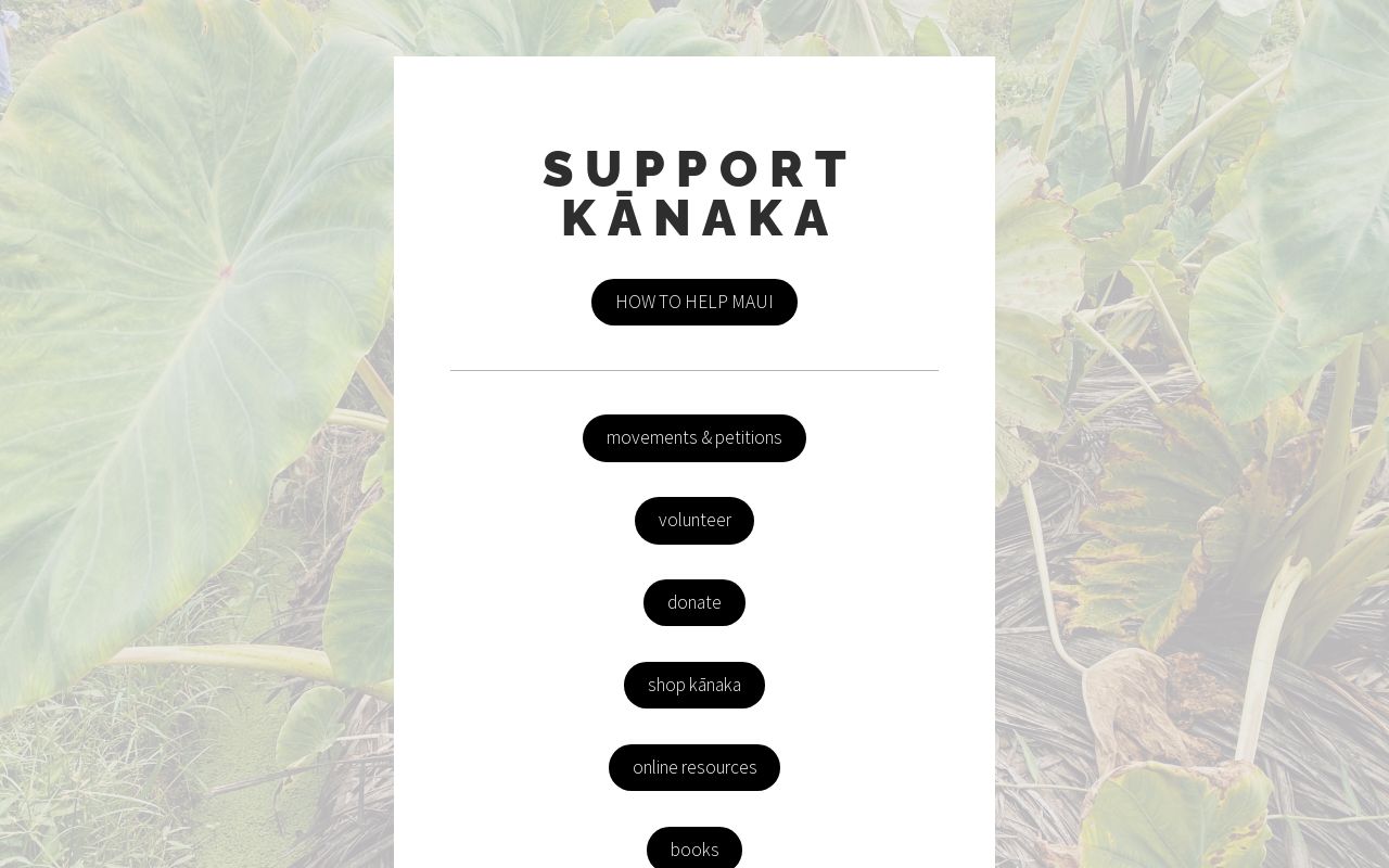

The fires burned through the capital town of the Kingdom of Hawaii, the ancestral and present home to native Hawaiians on their original unceded lands. One of the buildings destroyed was the Na ‘Aikane o Maui cultural center, a gathering place for the Hawaiian community to organize and celebrate.
If you’d like to help the community rebuild and restore the cultural center, a fund has been established that is accepting donations — specify “donation for Na ‘Aikane” on this Venmo link.
Nā ‘Āikane O Maui Cultural Center has burnt down. It was a gathering place for Cultural Groups & Kīpuka for our Lāhui - everyone was fed & no one was ever charged. Cultural artifacts, and a safe gathering and educational space for our people has been lost. #Lahaina#LahainaFire/
— Oʻahu Water Protectors (@oahuWP)
8:20 PM • Aug 9, 2023