- Currently Miami
- Posts
- Currently in Miami — August 17, 2023: Tropical moisture triggers thunderstorms
Currently in Miami — August 17, 2023: Tropical moisture triggers thunderstorms
Plus, hurricane remnants could create catastrophic flooding in California this weekend.
Eric Holthaus & John Morales
August 16, 2023
The weather, currently.

Tropical moisture triggers thunderstorms
A tropical wave continues to move through the area. In the morning, showers will form over the east coast, and later in the day multiple rounds of showers and thunderstorms will develop and slowly move from the interior towards the coast. While thunderstorms are not expected to be severe, localized flooding will be possible due to their slow-moving nature. Unsettled weather will continue into the weekend, albeit to a lesser degree. The increased cloud cover and rain will keep temperatures below Heat Advisory criteria, but they will still reach the low to mid 90s.
El tiempo, actualmente.
Una onda tropical continúa moviéndose por el área. En la mañana, se formarán aguaceros sobre la costa este, y más tarde en el día se desarrollarán múltiples rondas de aguaceros y tormentas eléctricas que se moverán lentamente desde el interior hacia la costa. Aunque no se espera que las tormentas eléctricas sean severas, es posible que se produzcan inundaciones localizadas debido a su lentitud. El tiempo lluvioso continuará durante el fin de semana, aunque en menor grado. La nubosidad y la lluvia mantendrán las temperaturas por debajo de los criterios de Advertencia de Calor, pero aún alcanzarán los rangos bajo a medio de los 90 grados.
What you need to know, currently.
Hurricane Hilary is expected to make a rare trek northward across the US-Mexico border this weekend, bringing the potential for catastrophic flooding.
The latest GFS model (below) shows the remnants of a much-weakened Hurricane Hilary could bring up to 10 inches of rain to the deserts of southern California by Tuesday.
That’s a lot of rain for an area that gets almost none.
In the Coachella-Imperial Valley, the area near Palm Springs and the Salton Sea, average yearly rainfall is about 3-5 inches. That means Hilary is expected to produce about 2-3 years of rainfall in about 3 days.

The last time something like this happened, it wasn’t pretty. In 1976, the remnants of Hurricane Kathleen produced nearly 15 inches of rain on the southward-facing slopes of the Coachella Valley, creating a wall of water as high as 40 feet through normally dry streambeds, washing away homes, roads, and irrigated fields along the way.
As you might guess, hurricanes are quite rare in Southern California, but happen most frequently during El Niño years — like 2023. Climate change caused by fossil fuel burning is also a culprit here: a warmer atmosphere can hold more water vapor, thus making torrential rainstorms more likely.
What you can do, currently.
The fires in Maui have struck at the heart of Hawaiian heritage, and if you’d like to support survivors, here are good places to start:
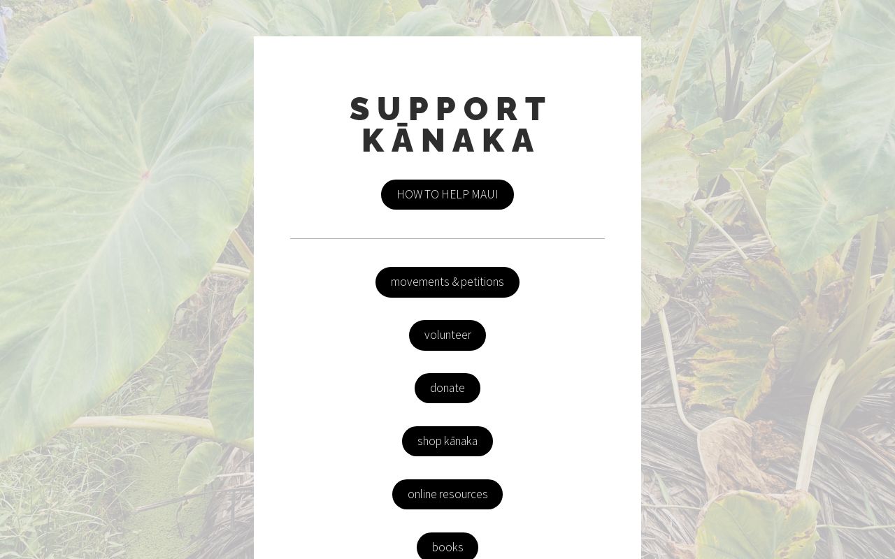

The fires burned through the capital town of the Kingdom of Hawaii, the ancestral and present home to native Hawaiians on their original unceded lands. One of the buildings destroyed was the Na ‘Aikane o Maui cultural center, a gathering place for the Hawaiian community to organize and celebrate.
If you’d like to help the community rebuild and restore the cultural center, a fund has been established that is accepting donations — specify “donation for Na ‘Aikane” on this Venmo link.
Nā ‘Āikane O Maui Cultural Center has burnt down. It was a gathering place for Cultural Groups & Kīpuka for our Lāhui - everyone was fed & no one was ever charged. Cultural artifacts, and a safe gathering and educational space for our people has been lost. #Lahaina#LahainaFire/
— Oʻahu Water Protectors (@oahuWP)
8:20 PM • Aug 9, 2023