- Currently Miami
- Posts
- Currently in Miami — August 15, 2023: More moisture adds to heat danger
Currently in Miami — August 15, 2023: More moisture adds to heat danger
Plus, a dangerous Pacific Northwest heat wave may spark wildfires.
Eric Holthaus & John Morales
August 13, 2023
The weather, currently.

More moisture adds heat danger
Tropical moisture will move over South Florida from the Bahamas on Tuesday which will contribute to another day of suffocating heat despite the increased rain and cloud cover it will bring. Temperatures will once again be in the mid-to-upper 90s during the afternoon, although the interior will be warmer than the east coast. The added humidity will drive heat index values into the triple digits, therefore a Heat Advisory will certainly be issued across the region, with some counties possibly receiving an Excessive Heat Warning—especially considering that there were pockets with feels-like readings above 120 °F on Monday. Strong thunderstorms will also be possible, most likely inland during the afternoon. This hot, moist, and unstable pattern will continue through most of the workweek.
El tiempo, actualmente.
Humedad tropical se moverá sobre el sur de Florida desde las Bahamas el martes, lo que contribuirá a otro día de calor sofocante a pesar del aumento de la lluvia y la nubosidad que traerá. Las temperaturas volverán a estar entre los rangos medio a alto de los 90 grados durante la tarde, aunque el interior estará más cálido que la costa este. La humedad adicional impulsará los índices de calor a los tres dígitos. Por lo tanto, una Advertencia de Calor estará vigente en toda la región, y algunos condados posiblemente recibirán un Aviso de Calor Excesivo—especialmente considerando que hubo sectores donde la sensación térmica sobrepasó 120 °F el lunes. También serán posibles fuertes tormentas eléctricas enfocadas tierra adentro durante la tarde. Este tiempo cálido, húmedo e inestable continuará durante la mayor parte de la semana laboral.
What you need to know, currently.
This week will feature temperatures as high as 110°F (43.3°C) in Oregon for several consecutive days. Although daytime highs won’t likely surpass the incredible June 2021 Pacific Northwest heat wave — which had an estimated 1-in-10,000 year recurrence interval — overnight lows are expected to stay warm, and add to the danger of this event.
Red flag warnings are in effect for the entire length of the Cascades, from southern Oregon to the Canadian border where many areas are currently in a severe drought. Stray thunderstorms are in the forecast, and any fires that start could quickly spread out of control.
“There is high confidence in a dangerous heat wave in the Pacific Northwest,” warned the National Weather Service over the weekend. “Locations in the interior valleys and lower elevations of western Oregon could see one of their hottest five-day stretches on record (by average temperature), with 100+ degree highs likely.”
Firefighters across Washington and Oregon are currently battling 7 large fires and have boosted their preparedness level and prepositioned people and equipment to deal with more, if necessary.
What you can do, currently.
The fires in Maui have struck at the heart of Hawaiian heritage, and if you’d like to support survivors, here are good places to start:
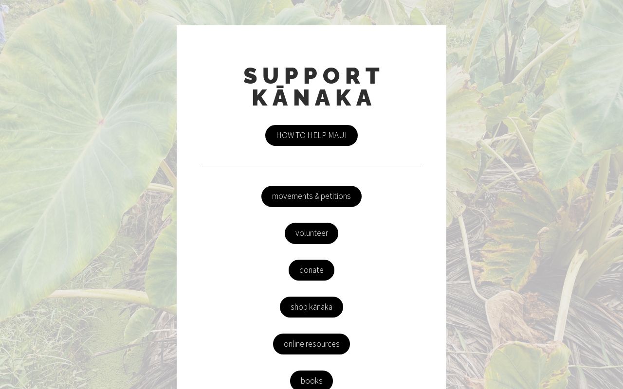

The fires burned through the capital town of the Kingdom of Hawaii, the ancestral and present home to native Hawaiians on their original unceded lands. One of the buildings destroyed was the Na ‘Aikane o Maui cultural center, a gathering place for the Hawaiian community to organize and celebrate.
If you’d like to help the community rebuild and restore the cultural center, a fund has been established that is accepting donations — specify “donation for Na ‘Aikane” on this Venmo link.
Nā ‘Āikane O Maui Cultural Center has burnt down. It was a gathering place for Cultural Groups & Kīpuka for our Lāhui - everyone was fed & no one was ever charged. Cultural artifacts, and a safe gathering and educational space for our people has been lost. #Lahaina#LahainaFire/
— Oʻahu Water Protectors (@oahuWP)
8:20 PM • Aug 9, 2023